Subway under the A299 Thanet Way
Introduction
The photograph on this page of Subway under the A299 Thanet Way by David Anstiss as part of the Geograph project.
The Geograph project started in 2005 with the aim of publishing, organising and preserving representative images for every square kilometre of Great Britain, Ireland and the Isle of Man.

There are currently over 7.5m images from over 14,400 individuals and you can help contribute to the project by visiting https://www.geograph.org.uk
Subway under the A299 Thanet Way
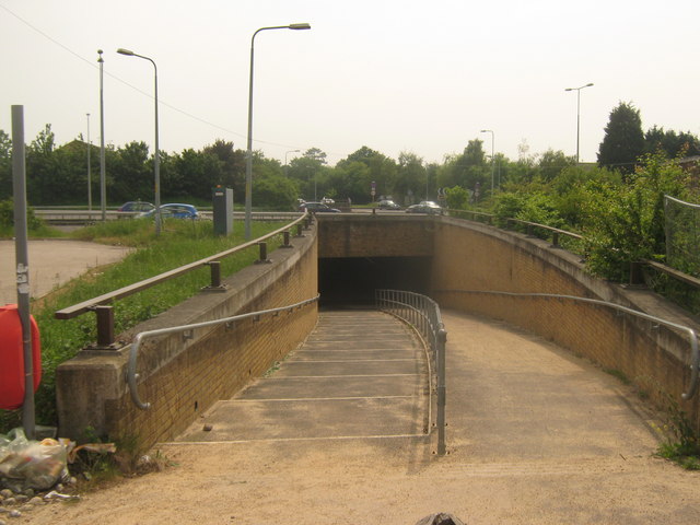
Image: © David Anstiss Taken: 5 Jun 2010
Mill Lane North from the Margate Road, ends here and a subway heads under the dual carriageway heading towards Mill Lane in Hunters Forstal.
Images are licensed for reuse under creativecommons.org/licenses/by-sa/2.0
Image Location
Latitude
51.361496
Longitude
1.142658