Seaview Bay
Introduction
The photograph on this page of Seaview Bay by Graham Horn as part of the Geograph project.
The Geograph project started in 2005 with the aim of publishing, organising and preserving representative images for every square kilometre of Great Britain, Ireland and the Isle of Man.

There are currently over 7.5m images from over 14,400 individuals and you can help contribute to the project by visiting https://www.geograph.org.uk
Seaview Bay
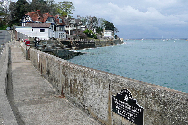
Image: © Graham Horn Taken: 1 May 2010
The north eastern part of the Isle of Wight looks out over the approaches to Spithead and the deep water moorings. The sign says "Seaview Bay. The sea wall and shingle are owned and maintained by the residents. Please respect our privacy. Use at your own risk."
Images are licensed for reuse under creativecommons.org/licenses/by-sa/2.0
Image Location
Latitude
50.717642
Longitude
-1.107548