Towards Davenport
Introduction
The photograph on this page of Towards Davenport by Jonathan Kington as part of the Geograph project.
The Geograph project started in 2005 with the aim of publishing, organising and preserving representative images for every square kilometre of Great Britain, Ireland and the Isle of Man.

There are currently over 7.5m images from over 14,400 individuals and you can help contribute to the project by visiting https://www.geograph.org.uk
Towards Davenport
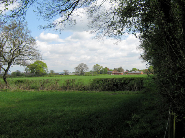
Image: © Jonathan Kington Taken: 4 May 2010
Looking along the northern boundary of Brereton Heath Country Park towards the hamlet of Davenport across the fields.
Images are licensed for reuse under creativecommons.org/licenses/by-sa/2.0
Image Location
Latitude
53.185583
Longitude
-2.301348