Standing Stone
Introduction
The photograph on this page of Standing Stone by Anne Burgess as part of the Geograph project.
The Geograph project started in 2005 with the aim of publishing, organising and preserving representative images for every square kilometre of Great Britain, Ireland and the Isle of Man.

There are currently over 7.5m images from over 14,400 individuals and you can help contribute to the project by visiting https://www.geograph.org.uk
Standing Stone
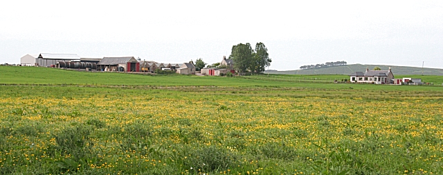
Image: © Anne Burgess Taken: 3 Jun 2010
A large farm on the southern slope of a low ridge, with a southerly outlook. The map doesn't show a standing stone nearby, so if it was named after such a stone, it may have disappeared.
Images are licensed for reuse under creativecommons.org/licenses/by-sa/2.0
Image Location
Latitude
57.661247
Longitude
-3.450743