Wheat, Hinton Airfield, Charlton
Introduction
The photograph on this page of Wheat, Hinton Airfield, Charlton by Brian Robert Marshall as part of the Geograph project.
The Geograph project started in 2005 with the aim of publishing, organising and preserving representative images for every square kilometre of Great Britain, Ireland and the Isle of Man.

There are currently over 7.5m images from over 14,400 individuals and you can help contribute to the project by visiting https://www.geograph.org.uk
Wheat, Hinton Airfield, Charlton
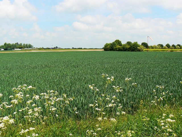
Image: © Brian Robert Marshall Taken: 2 Jun 2010
Some former wartime airfields become disused such as RAF Broadwell http://www.geograph.org.uk/photo/311773 but this one lives on as a private airfield. 'The land was bought by the Harrison family in 1924 and taken from them to build the World War II airfield in 1939. It came back in the Harrison family hands in 1963 and the airfield activities were carried on in a small way, building to what is here now – gliding, parachuting and private aviation.' http://www.hintonairfield.co.uk/ Suitable areas of land not needed for aviation activities are used for arable purposes.
Images are licensed for reuse under creativecommons.org/licenses/by-sa/2.0
Image Location
Latitude
52.026172
Longitude
-1.212482