The B1279 road near Greenhills
Introduction
The photograph on this page of The B1279 road near Greenhills by Philip Barker as part of the Geograph project.
The Geograph project started in 2005 with the aim of publishing, organising and preserving representative images for every square kilometre of Great Britain, Ireland and the Isle of Man.

There are currently over 7.5m images from over 14,400 individuals and you can help contribute to the project by visiting https://www.geograph.org.uk
The B1279 road near Greenhills
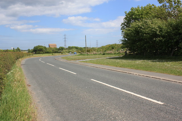
Image: © Philip Barker Taken: 2 Jun 2010
This photograph shows a view of the bends in the B1279 road as it passes Greenhills (to the right of the trees). The industrial estate can just be seen on the horizon - as can the pylon run that passes over it. The picture was taken looking in an easterly direction towards Shotton.
Images are licensed for reuse under creativecommons.org/licenses/by-sa/2.0
Image Location
Latitude
54.748936
Longitude
-1.393153