Tramway House
Introduction
The photograph on this page of Tramway House by Alan Murray-Rust as part of the Geograph project.
The Geograph project started in 2005 with the aim of publishing, organising and preserving representative images for every square kilometre of Great Britain, Ireland and the Isle of Man.

There are currently over 7.5m images from over 14,400 individuals and you can help contribute to the project by visiting https://www.geograph.org.uk
Tramway House
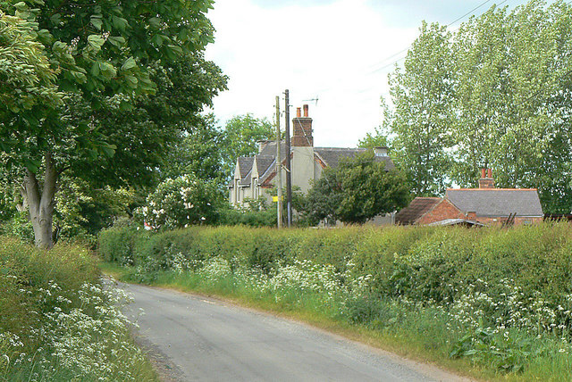
Image: © Alan Murray-Rust Taken: 30 May 2010
This unlikely name derives from the fact that it is where a tramroad from the nearby gypsum mine to a plaster mill at Thrumpton crossed the road.
Images are licensed for reuse under creativecommons.org/licenses/by-sa/2.0
Image Location
Latitude
52.875517
Longitude
-1.232255