Papplewick Hall and grounds
Introduction
The photograph on this page of Papplewick Hall and grounds by Trevor Rickard as part of the Geograph project.
The Geograph project started in 2005 with the aim of publishing, organising and preserving representative images for every square kilometre of Great Britain, Ireland and the Isle of Man.

There are currently over 7.5m images from over 14,400 individuals and you can help contribute to the project by visiting https://www.geograph.org.uk
Papplewick Hall and grounds
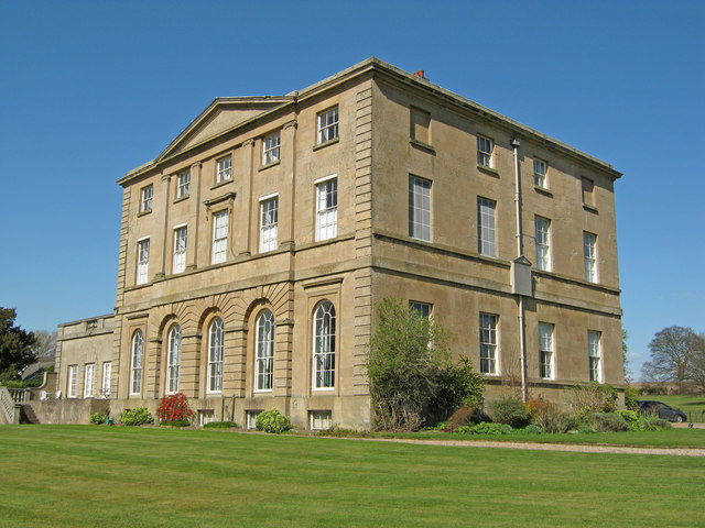
Image: © Trevor Rickard Taken: 21 Apr 2010
View from the edge of the lawn with a ha-ha just behind. For its size, the hall has limited grounds, including this lawn and a section running down to the church. Most of the estate has been sold off in parcels over time. Image
Images are licensed for reuse under creativecommons.org/licenses/by-sa/2.0
Image Location
Latitude
53.059923
Longitude
-1.183024