Fairham Brook
Introduction
The photograph on this page of Fairham Brook by Alan Murray-Rust as part of the Geograph project.
The Geograph project started in 2005 with the aim of publishing, organising and preserving representative images for every square kilometre of Great Britain, Ireland and the Isle of Man.

There are currently over 7.5m images from over 14,400 individuals and you can help contribute to the project by visiting https://www.geograph.org.uk
Fairham Brook
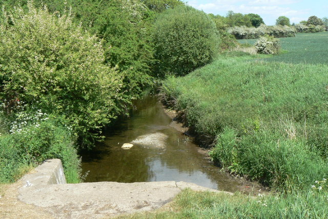
Image: © Alan Murray-Rust Taken: 28 May 2010
In the foreground is the outlet of what would originally have been a natural drainage channel, now culverted.
Images are licensed for reuse under creativecommons.org/licenses/by-sa/2.0
Image Location
Latitude
52.895512
Longitude
-1.170956