Burrows Farm
Introduction
The photograph on this page of Burrows Farm by Alan Murray-Rust as part of the Geograph project.
The Geograph project started in 2005 with the aim of publishing, organising and preserving representative images for every square kilometre of Great Britain, Ireland and the Isle of Man.

There are currently over 7.5m images from over 14,400 individuals and you can help contribute to the project by visiting https://www.geograph.org.uk
Burrows Farm
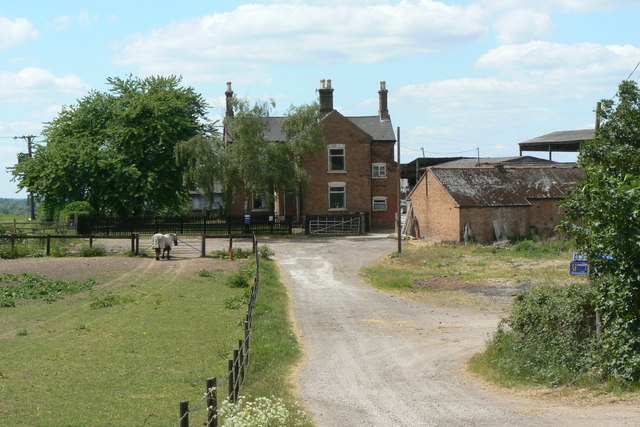
Image: © Alan Murray-Rust Taken: 28 May 2010
Seen from Fox Covert Lane, which is a public bridleway, dipping down into the Trent Valley to the right of the picture.
Images are licensed for reuse under creativecommons.org/licenses/by-sa/2.0
Image Location
Latitude
52.900321
Longitude
-1.203719