Court Lodge Farm Oast, Lower Road
Introduction
The photograph on this page of Court Lodge Farm Oast, Lower Road by pam fray as part of the Geograph project.
The Geograph project started in 2005 with the aim of publishing, organising and preserving representative images for every square kilometre of Great Britain, Ireland and the Isle of Man.

There are currently over 7.5m images from over 14,400 individuals and you can help contribute to the project by visiting https://www.geograph.org.uk
Court Lodge Farm Oast, Lower Road
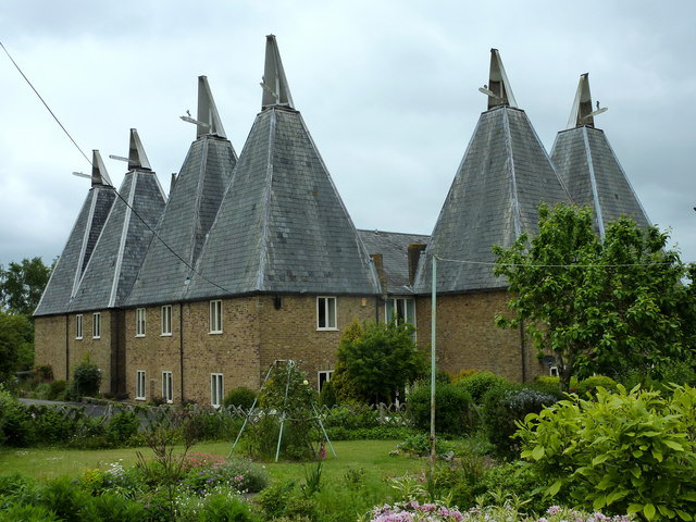
Image: © pam fray Taken: 31 May 2010
These oast houses were converted into flats in the 1980s.
Images are licensed for reuse under creativecommons.org/licenses/by-sa/2.0
Image Location
Latitude
51.252391
Longitude
0.480219