Gate by West Mendip Way
Introduction
The photograph on this page of Gate by West Mendip Way by Derek Harper as part of the Geograph project.
The Geograph project started in 2005 with the aim of publishing, organising and preserving representative images for every square kilometre of Great Britain, Ireland and the Isle of Man.

There are currently over 7.5m images from over 14,400 individuals and you can help contribute to the project by visiting https://www.geograph.org.uk
Gate by West Mendip Way
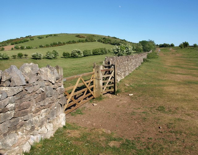
Image: © Derek Harper Taken: 23 May 2010
Following bridleway AX 15/19 towards Wavering Down (ahead left), the Way passes a gate in a recently-restored wall leading onto a steep path down to Barton.
Images are licensed for reuse under creativecommons.org/licenses/by-sa/2.0
Image Location
Latitude
51.301443
Longitude
-2.866473