Kingston Street - Hopwood Lane
Introduction
The photograph on this page of Kingston Street - Hopwood Lane by Betty Longbottom as part of the Geograph project.
The Geograph project started in 2005 with the aim of publishing, organising and preserving representative images for every square kilometre of Great Britain, Ireland and the Isle of Man.

There are currently over 7.5m images from over 14,400 individuals and you can help contribute to the project by visiting https://www.geograph.org.uk
Kingston Street - Hopwood Lane
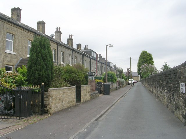
Image: © Betty Longbottom Taken: 31 May 2010
On the right is the wall showing the extent of the property of the former Halifax High Level Railway.
Images are licensed for reuse under creativecommons.org/licenses/by-sa/2.0
Image Location
Latitude
53.719912
Longitude
-1.882219