Woodside Farm, Wettenhall
Introduction
The photograph on this page of Woodside Farm, Wettenhall by Mike Harris as part of the Geograph project.
The Geograph project started in 2005 with the aim of publishing, organising and preserving representative images for every square kilometre of Great Britain, Ireland and the Isle of Man.

There are currently over 7.5m images from over 14,400 individuals and you can help contribute to the project by visiting https://www.geograph.org.uk
Woodside Farm, Wettenhall
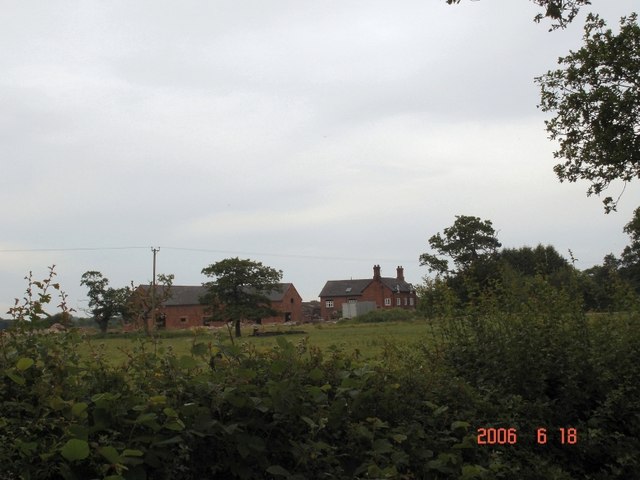
Image: © Mike Harris Taken: 18 Jun 2006
Woodside Farm, Wettenhall, seen from the (long) drive, which is also a public footpath. Big herd of beef cattle here - and signs of the usual redevelopment of outbuildings as residential accommodation (?) - resulting in obstruction of the footpath - hopefully only temporarily.
Images are licensed for reuse under creativecommons.org/licenses/by-sa/2.0
Image Location
Latitude
53.144706
Longitude
-2.547147