West Knighton: detail of Tenantrees signpost
Introduction
The photograph on this page of West Knighton: detail of Tenantrees signpost by Chris Downer as part of the Geograph project.
The Geograph project started in 2005 with the aim of publishing, organising and preserving representative images for every square kilometre of Great Britain, Ireland and the Isle of Man.

There are currently over 7.5m images from over 14,400 individuals and you can help contribute to the project by visiting https://www.geograph.org.uk
West Knighton: detail of Tenantrees signpost
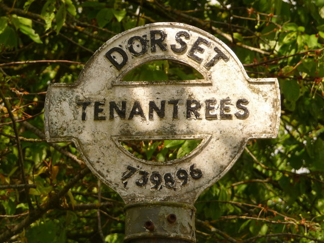
Image: © Chris Downer Taken: 30 May 2010
A close-up of the finial from the original finger-post, giving location and grid reference details, which has been retained and affixed to standard modern signage. See Image for the signpost as it looks now.
Images are licensed for reuse under creativecommons.org/licenses/by-sa/2.0
Image Location
Latitude
50.705445
Longitude
-2.371399