Mill and canal, Paddock
Introduction
The photograph on this page of Mill and canal, Paddock by Christine Johnstone as part of the Geograph project.
The Geograph project started in 2005 with the aim of publishing, organising and preserving representative images for every square kilometre of Great Britain, Ireland and the Isle of Man.

There are currently over 7.5m images from over 14,400 individuals and you can help contribute to the project by visiting https://www.geograph.org.uk
Mill and canal, Paddock
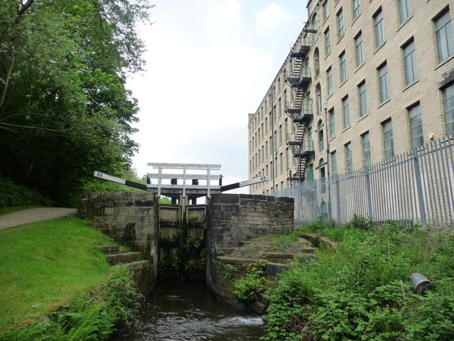
Image: © Christine Johnstone Taken: 21 May 2010
Mark Bottom Lock [6E] on the Huddersfield Narrow Canal, alongside the enormous Britannia Mill.
Images are licensed for reuse under creativecommons.org/licenses/by-sa/2.0
Image Location
Latitude
53.640002
Longitude
-1.808177