Otterham Quay Lane
Introduction
The photograph on this page of Otterham Quay Lane by Penny Mayes as part of the Geograph project.
The Geograph project started in 2005 with the aim of publishing, organising and preserving representative images for every square kilometre of Great Britain, Ireland and the Isle of Man.

There are currently over 7.5m images from over 14,400 individuals and you can help contribute to the project by visiting https://www.geograph.org.uk
Otterham Quay Lane
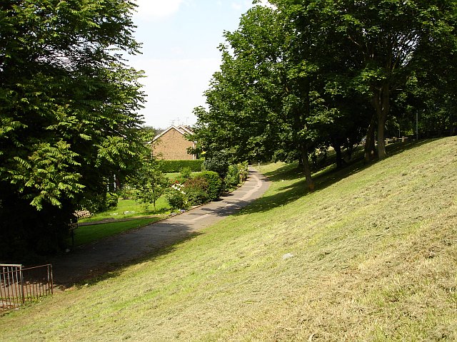
Image: © Penny Mayes Taken: 16 Jun 2006
The road itself is on top of the embankment on the right which carries it over the railway bridge just south of here in the next square.
Images are licensed for reuse under creativecommons.org/licenses/by-sa/2.0
Image Location
Latitude
51.363678
Longitude
0.622997