Looking up the steps at The Slade, Plumstead Common
Introduction
The photograph on this page of Looking up the steps at The Slade, Plumstead Common by Marathon as part of the Geograph project.
The Geograph project started in 2005 with the aim of publishing, organising and preserving representative images for every square kilometre of Great Britain, Ireland and the Isle of Man.

There are currently over 7.5m images from over 14,400 individuals and you can help contribute to the project by visiting https://www.geograph.org.uk
Looking up the steps at The Slade, Plumstead Common
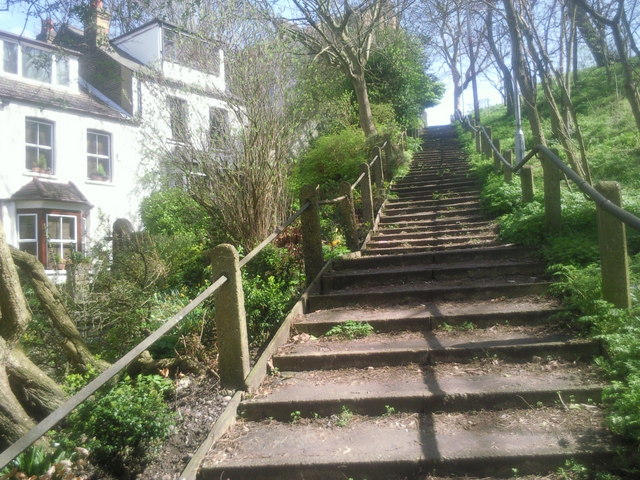
Image: © Marathon Taken: 10 Apr 2010
Leading up the side of the ravine known as The Slade, these steps reach Lakedale Road at the top. The houses on the left, which only have access by footpath, give quite a country feel to this corner of Plumstead.
Images are licensed for reuse under creativecommons.org/licenses/by-sa/2.0
Image Location
Latitude
51.481599
Longitude
0.089932