Wayside
Introduction
The photograph on this page of Wayside by Martin Addison as part of the Geograph project.
The Geograph project started in 2005 with the aim of publishing, organising and preserving representative images for every square kilometre of Great Britain, Ireland and the Isle of Man.

There are currently over 7.5m images from over 14,400 individuals and you can help contribute to the project by visiting https://www.geograph.org.uk
Wayside
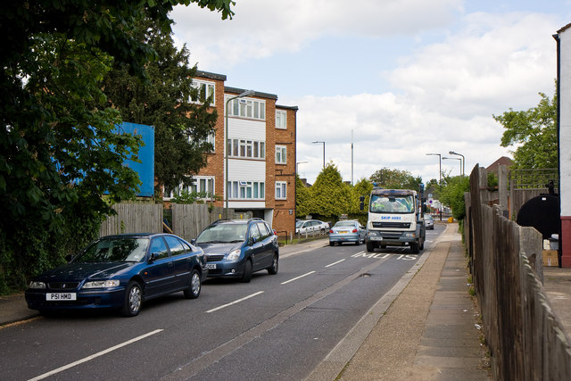
Image: © Martin Addison Taken: 28 May 2010
This street connects the A41 Hendon Way with the vale and is a popular route into the back streets of Golders Green for those drivers who know the area. The skip lorry has just come off the A41 which is visible in the distance. The road has a sign prohibiting buses and vehicles over 7.5 tonnes from travelling in the direction that this photo is looking, but similar restrictions do not seem to apply in the direction that the skip lorry is travelling. These may be in force due to the sharp turn required to join the A41 at the far end.
Images are licensed for reuse under creativecommons.org/licenses/by-sa/2.0
Image Location
Latitude
51.570336
Longitude
-0.207737