Footpath to Berryfields Lane?
Introduction
The photograph on this page of Footpath to Berryfields Lane? by David P Howard as part of the Geograph project.
The Geograph project started in 2005 with the aim of publishing, organising and preserving representative images for every square kilometre of Great Britain, Ireland and the Isle of Man.

There are currently over 7.5m images from over 14,400 individuals and you can help contribute to the project by visiting https://www.geograph.org.uk
Footpath to Berryfields Lane?
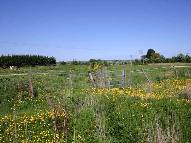
Image: © David P Howard Taken: 23 May 2010
Looking northeast from near the start of the footpath in Ilmington. It is so overgrown it is hard to make out the route, until you can identify the gate.
Images are licensed for reuse under creativecommons.org/licenses/by-sa/2.0
Image Location
Latitude
52.093031
Longitude
-1.687592