The A39 at Otterham station
Introduction
The photograph on this page of The A39 at Otterham station by roger geach as part of the Geograph project.
The Geograph project started in 2005 with the aim of publishing, organising and preserving representative images for every square kilometre of Great Britain, Ireland and the Isle of Man.

There are currently over 7.5m images from over 14,400 individuals and you can help contribute to the project by visiting https://www.geograph.org.uk
The A39 at Otterham station
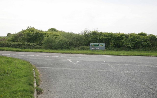
Image: © roger geach Taken: 18 May 2010
Behind the signs to the right is where the old LSWR North Cornwall line once ran. Otterham station was on my right.The station house still remains as a private dwelling.
Images are licensed for reuse under creativecommons.org/licenses/by-sa/2.0
Image Location
Latitude
50.674193
Longitude
-4.614121