Margaret Macmillan Park, redeveloped (1)
Introduction
The photograph on this page of Margaret Macmillan Park, redeveloped (1) by Stephen Craven as part of the Geograph project.
The Geograph project started in 2005 with the aim of publishing, organising and preserving representative images for every square kilometre of Great Britain, Ireland and the Isle of Man.

There are currently over 7.5m images from over 14,400 individuals and you can help contribute to the project by visiting https://www.geograph.org.uk
Margaret Macmillan Park, redeveloped (1)
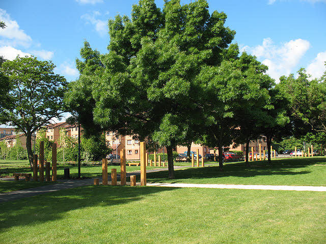
Image: © Stephen Craven Taken: 28 May 2010
The park was redeveloped by Lewisham Council in the first half of 2010. This is the eastern end of the park adjacent to Douglas Way. The purpose of the different height wooden posts is unclear.
Images are licensed for reuse under creativecommons.org/licenses/by-sa/2.0
Image Location
Latitude
51.477272
Longitude
-0.02893