Railway towards Retford
Introduction
The photograph on this page of Railway towards Retford by Andrew Hill as part of the Geograph project.
The Geograph project started in 2005 with the aim of publishing, organising and preserving representative images for every square kilometre of Great Britain, Ireland and the Isle of Man.

There are currently over 7.5m images from over 14,400 individuals and you can help contribute to the project by visiting https://www.geograph.org.uk
Railway towards Retford
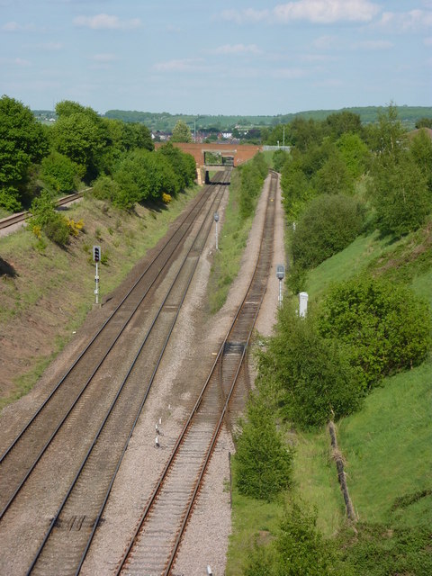
Image: © Andrew Hill Taken: 28 May 2010
A fine view from the golf course footbridge, showing the scale of the cutting and the rising tracks on each side.
Images are licensed for reuse under creativecommons.org/licenses/by-sa/2.0
Image Location
Latitude
53.311521
Longitude
-0.962247