Castle Farm Recreation Centre
Introduction
The photograph on this page of Castle Farm Recreation Centre by John Brightley as part of the Geograph project.
The Geograph project started in 2005 with the aim of publishing, organising and preserving representative images for every square kilometre of Great Britain, Ireland and the Isle of Man.

There are currently over 7.5m images from over 14,400 individuals and you can help contribute to the project by visiting https://www.geograph.org.uk
Castle Farm Recreation Centre
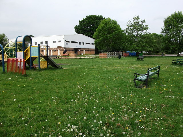
Image: © John Brightley Taken: 26 May 2010
The centre is set in spacious playing fields which include a children's play area.
Images are licensed for reuse under creativecommons.org/licenses/by-sa/2.0
Image Location
Latitude
52.341216
Longitude
-1.58677