Boscombe, closed road
Introduction
The photograph on this page of Boscombe, closed road by Mike Faherty as part of the Geograph project.
The Geograph project started in 2005 with the aim of publishing, organising and preserving representative images for every square kilometre of Great Britain, Ireland and the Isle of Man.

There are currently over 7.5m images from over 14,400 individuals and you can help contribute to the project by visiting https://www.geograph.org.uk
Boscombe, closed road
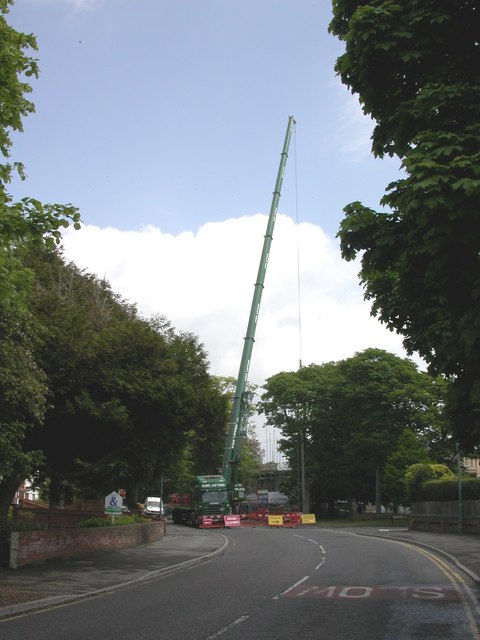
Image: © Mike Faherty Taken: 27 May 2010
Beechwood Road, closed for five days while a massive crane assists with the construction of an apartment block at Shelley Manor.
Images are licensed for reuse under creativecommons.org/licenses/by-sa/2.0
Image Location
Latitude
50.723006
Longitude
-1.834199