Footpath's End
Introduction
The photograph on this page of Footpath's End by Robert Struthers as part of the Geograph project.
The Geograph project started in 2005 with the aim of publishing, organising and preserving representative images for every square kilometre of Great Britain, Ireland and the Isle of Man.

There are currently over 7.5m images from over 14,400 individuals and you can help contribute to the project by visiting https://www.geograph.org.uk
Footpath's End
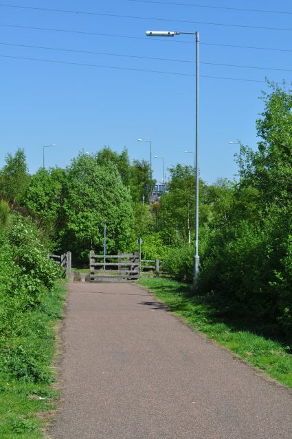
Image: © Robert Struthers Taken: 22 May 2010
The footpath along the route of the old railway line to Dunfermline ends here. You can just see the blue-painted footbridge at Dunfermline Queen Margaret station through the trees. Where the railway line joined the main Fife circle line is now the station car park, and no trace of the junction exists.
Images are licensed for reuse under creativecommons.org/licenses/by-sa/2.0
Image Location
Latitude
56.079915
Longitude
-3.424014