The Upper Nith Valley
Introduction
The photograph on this page of The Upper Nith Valley by Robert Watson as part of the Geograph project.
The Geograph project started in 2005 with the aim of publishing, organising and preserving representative images for every square kilometre of Great Britain, Ireland and the Isle of Man.

There are currently over 7.5m images from over 14,400 individuals and you can help contribute to the project by visiting https://www.geograph.org.uk
The Upper Nith Valley
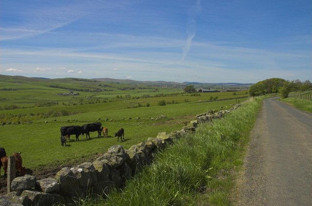
Image: © Robert Watson Taken: 14 May 2005
From the Mansefield Road looking South West towards New Cumnock. Meikle Garclaugh farm on the right and Blackwood farm on the left over the river.
Images are licensed for reuse under creativecommons.org/licenses/by-sa/2.0
Image Location
Latitude
55.396673
Longitude
-4.141051