Footpath north of Lovelands Lane
Introduction
The photograph on this page of Footpath north of Lovelands Lane by Ian Capper as part of the Geograph project.
The Geograph project started in 2005 with the aim of publishing, organising and preserving representative images for every square kilometre of Great Britain, Ireland and the Isle of Man.

There are currently over 7.5m images from over 14,400 individuals and you can help contribute to the project by visiting https://www.geograph.org.uk
Footpath north of Lovelands Lane
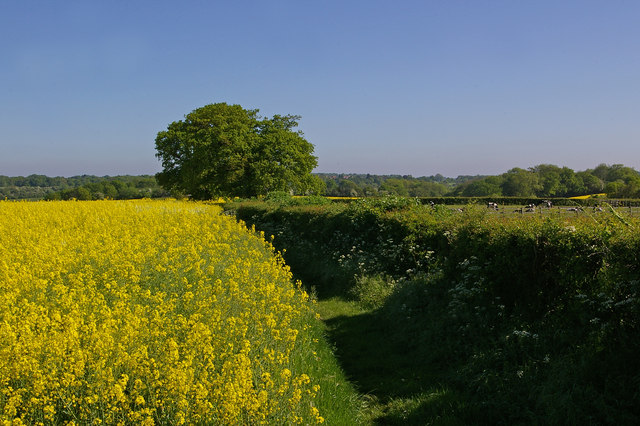
Image: © Ian Capper Taken: 23 May 2010
Part of a footpath that old maps show as a running in a continuous line north from Reigate Hill to Outwood Lane, east of Kingswood. It can still be followed on maps, but is now more fragmented, with Lovelands Lane itself (of which this was presumably once a northward extension) now built up.
Images are licensed for reuse under creativecommons.org/licenses/by-sa/2.0
Image Location
Latitude
51.271104
Longitude
-0.198689