Creacombe, Aveton Gifford
Introduction
The photograph on this page of Creacombe, Aveton Gifford by Derek Harper as part of the Geograph project.
The Geograph project started in 2005 with the aim of publishing, organising and preserving representative images for every square kilometre of Great Britain, Ireland and the Isle of Man.

There are currently over 7.5m images from over 14,400 individuals and you can help contribute to the project by visiting https://www.geograph.org.uk
Creacombe, Aveton Gifford
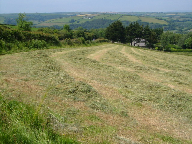
Image: © Derek Harper Taken: 16 Jun 2006
Behind the hedge on the left, the A379 descends to the River Avon at Aveton Gifford; woods alongside the estuary are in the background. Taken from the start of the lane to Venn burial ground.
Images are licensed for reuse under creativecommons.org/licenses/by-sa/2.0
Image Location


Leaflet Map data © OpenStreetMap
Latitude
50.302991
Longitude
-3.833255