Lower part of Cnocan Gorge
Introduction
The photograph on this page of Lower part of Cnocan Gorge by David Hawgood as part of the Geograph project.
The Geograph project started in 2005 with the aim of publishing, organising and preserving representative images for every square kilometre of Great Britain, Ireland and the Isle of Man.

There are currently over 7.5m images from over 14,400 individuals and you can help contribute to the project by visiting https://www.geograph.org.uk
Lower part of Cnocan Gorge
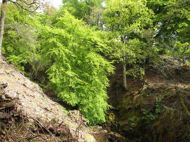
Image: © David Hawgood Taken: 14 May 2010
This is the Cnocan Burn just above the point where it swings round into fields below the castle.
Images are licensed for reuse under creativecommons.org/licenses/by-sa/2.0
Image Location
Latitude
55.59299
Longitude
-5.165245