The Oxford road at Longdon Hill
Introduction
The photograph on this page of The Oxford road at Longdon Hill by David Stowell as part of the Geograph project.
The Geograph project started in 2005 with the aim of publishing, organising and preserving representative images for every square kilometre of Great Britain, Ireland and the Isle of Man.

There are currently over 7.5m images from over 14,400 individuals and you can help contribute to the project by visiting https://www.geograph.org.uk
The Oxford road at Longdon Hill
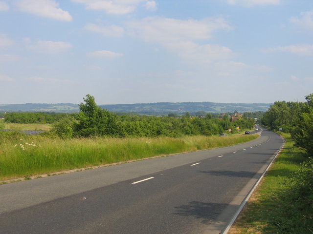
Image: © David Stowell Taken: 17 Jun 2006
There is a short length of dual carriageway on the Oxford road at this point as it crosses the square. The rooves in the distance are those of Wickamford whilst the Cotswold escarpment above Broadway is visible on the horizon.
Images are licensed for reuse under creativecommons.org/licenses/by-sa/2.0
Image Location


Leaflet Map data © OpenStreetMap
Latitude
52.075434
Longitude
-1.916788