Shilton Lane outside 'The Laurels'
Introduction
The photograph on this page of Shilton Lane outside 'The Laurels' by John Brightley as part of the Geograph project.
The Geograph project started in 2005 with the aim of publishing, organising and preserving representative images for every square kilometre of Great Britain, Ireland and the Isle of Man.

There are currently over 7.5m images from over 14,400 individuals and you can help contribute to the project by visiting https://www.geograph.org.uk
Shilton Lane outside 'The Laurels'
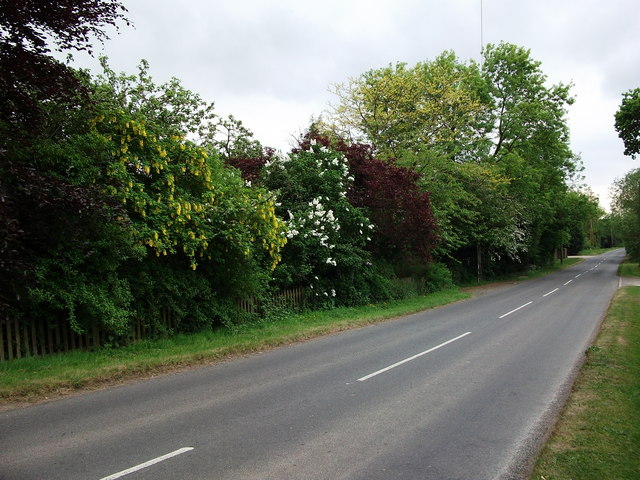
Image: © John Brightley Taken: 25 May 2010
Looking down the hill towards Coventry. The Laurels is behind the trees and bushes on the left. The garden of the house is so well stocked the house is hidden from view. This road can be busy at rush hour as it is a 'back way in' to this side of Coventry.
Images are licensed for reuse under creativecommons.org/licenses/by-sa/2.0
Image Location
Latitude
52.451441
Longitude
-1.43565