The wheelchair accessible path at Bonc yr Hafod
Introduction
The photograph on this page of The wheelchair accessible path at Bonc yr Hafod by John Haynes as part of the Geograph project.
The Geograph project started in 2005 with the aim of publishing, organising and preserving representative images for every square kilometre of Great Britain, Ireland and the Isle of Man.

There are currently over 7.5m images from over 14,400 individuals and you can help contribute to the project by visiting https://www.geograph.org.uk
The wheelchair accessible path at Bonc yr Hafod
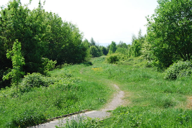
Image: © John Haynes Taken: 24 May 2010
A wheelchair accessible path with gentle gradients is slowly being improved.
Images are licensed for reuse under creativecommons.org/licenses/by-sa/2.0
Image Location
Latitude
53.012806
Longitude
-3.026765