Footpath down Broadway Hill
Introduction
The photograph on this page of Footpath down Broadway Hill by Derek Harper as part of the Geograph project.
The Geograph project started in 2005 with the aim of publishing, organising and preserving representative images for every square kilometre of Great Britain, Ireland and the Isle of Man.

There are currently over 7.5m images from over 14,400 individuals and you can help contribute to the project by visiting https://www.geograph.org.uk
Footpath down Broadway Hill
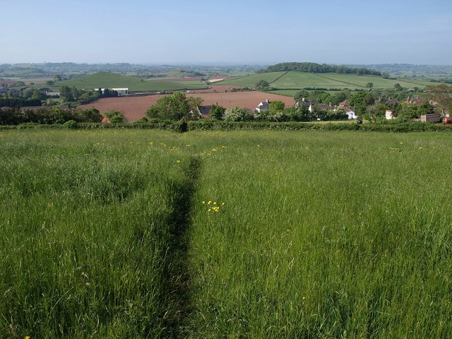
Image: © Derek Harper Taken: 22 May 2010
The reverse view of Image, with footpath WS 13/59 dropping to meet The Hollow. The nearest houses are at Stoneleigh on the A371, with Windmill Hill and Lodge Hill in the background.
Images are licensed for reuse under creativecommons.org/licenses/by-sa/2.0
Image Location


Leaflet Map data © OpenStreetMap
Latitude
51.238237
Longitude
-2.719318