Green Lane West, Ash Green
Introduction
The photograph on this page of Green Lane West, Ash Green by Alan Hunt as part of the Geograph project.
The Geograph project started in 2005 with the aim of publishing, organising and preserving representative images for every square kilometre of Great Britain, Ireland and the Isle of Man.

There are currently over 7.5m images from over 14,400 individuals and you can help contribute to the project by visiting https://www.geograph.org.uk
Green Lane West, Ash Green
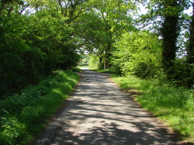
Image: © Alan Hunt Taken: 25 May 2010
View along Green Lane West, part of the green lane system that runs from Ash to Flexford. The lane becomes Pound Farm Lane just around the bend.
Images are licensed for reuse under creativecommons.org/licenses/by-sa/2.0
Image Location
Latitude
51.239201
Longitude
-0.69496