Valley side, Llidiart y Parc
Introduction
The photograph on this page of Valley side, Llidiart y Parc by Christine Johnstone as part of the Geograph project.
The Geograph project started in 2005 with the aim of publishing, organising and preserving representative images for every square kilometre of Great Britain, Ireland and the Isle of Man.

There are currently over 7.5m images from over 14,400 individuals and you can help contribute to the project by visiting https://www.geograph.org.uk
Valley side, Llidiart y Parc
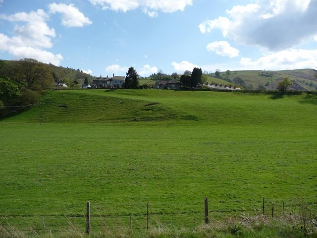
Image: © Christine Johnstone Taken: 13 May 2010
The villages and road generally stay above the flood plain. Taken from an open train window on the Llangollen Railway.
Images are licensed for reuse under creativecommons.org/licenses/by-sa/2.0
Image Location
Latitude
52.980503
Longitude
-3.313017