Vecqueray Street, Coventry
Introduction
The photograph on this page of Vecqueray Street, Coventry by Stephen McKay as part of the Geograph project.
The Geograph project started in 2005 with the aim of publishing, organising and preserving representative images for every square kilometre of Great Britain, Ireland and the Isle of Man.

There are currently over 7.5m images from over 14,400 individuals and you can help contribute to the project by visiting https://www.geograph.org.uk
Vecqueray Street, Coventry
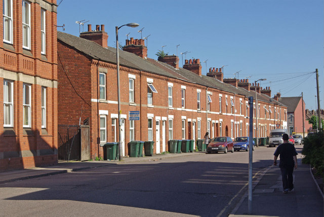
Image: © Stephen McKay Taken: 23 May 2010
This Edwardian street was named after Revd. G.C. Vecqueray, one time vicar of All Saints' Church. It connects Far Gosford Street with Gulson Road.
Images are licensed for reuse under creativecommons.org/licenses/by-sa/2.0
Image Location
Latitude
52.406409
Longitude
-1.497375