View south from Leivers's Hill
Introduction
The photograph on this page of View south from Leivers's Hill by Alan Murray-Rust as part of the Geograph project.
The Geograph project started in 2005 with the aim of publishing, organising and preserving representative images for every square kilometre of Great Britain, Ireland and the Isle of Man.

There are currently over 7.5m images from over 14,400 individuals and you can help contribute to the project by visiting https://www.geograph.org.uk
View south from Leivers's Hill
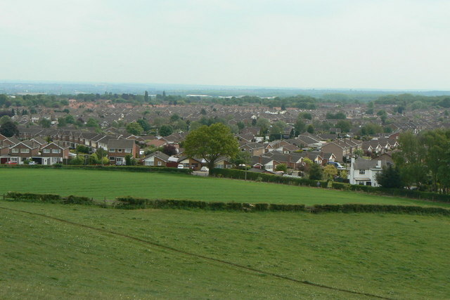
Image: © Alan Murray-Rust Taken: 21 May 2010
The large estate is collectively known as Ruffs. The name comes from the old farm name, Rough's Farm, but it was clearly felt that the original spelling was not appropriate.
Images are licensed for reuse under creativecommons.org/licenses/by-sa/2.0
Image Location
Latitude
53.0341
Longitude
-1.233618