Peterculter War Memorial
Introduction
The photograph on this page of Peterculter War Memorial by Stanley Howe as part of the Geograph project.
The Geograph project started in 2005 with the aim of publishing, organising and preserving representative images for every square kilometre of Great Britain, Ireland and the Isle of Man.

There are currently over 7.5m images from over 14,400 individuals and you can help contribute to the project by visiting https://www.geograph.org.uk
Peterculter War Memorial
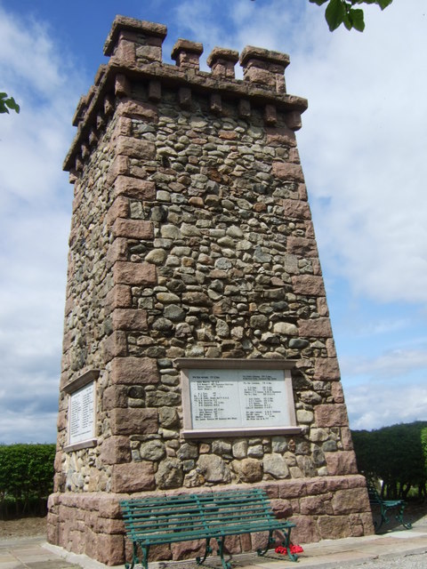
Image: © Stanley Howe Taken: 20 May 2010
With two of three plaques recordeing the names of those from the disctrict who fell in the GREAT WAR of 1914-1918.
Images are licensed for reuse under creativecommons.org/licenses/by-sa/2.0
Image Location
Latitude
57.098233
Longitude
-2.276763