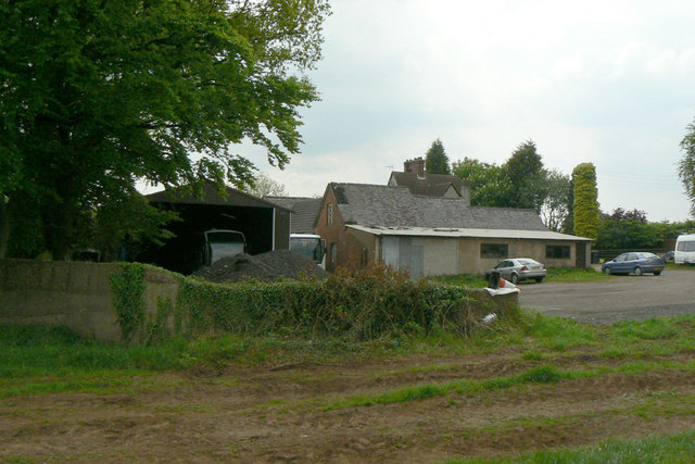
Eel Hole Farm
Introduction
The photograph on this page of Eel Hole Farm by Alan Murray-Rust as part of the Geograph project.
The Geograph project started in 2005 with the aim of publishing, organising and preserving representative images for every square kilometre of Great Britain, Ireland and the Isle of Man.
There are currently over 7.5m images from over 14,400 individuals and you can help contribute to the project by visiting https://www.geograph.org.uk

Image: © Alan Murray-Rust Taken: 21 May 2010
No longer in use as a farm. It would be interesting to know the origin of the name as there are no pools or stream adjacent. Postscript 2011 Thanks to an email from Chris Jordan whose ancestors owned the farm, some light can be shed on the name. Until around 1900, the farm was called Hellhole Farm (clearly shown as such on OS maps), which is conjectured to have derived from Shiloh. The local vicar* clearly campaigned to have the name changed to something less derogatory, and was obviously successful as the 1900 OS maps show the current name. What the maps also show is that as Hellhole Farm, it lay several hundred metres to the north of the current location, on the edge of Starth Wood. One wonders whether the change of location was partly done to ensure that the old name did not linger! * The source of this information can be found here http://www.nottshistory.org.uk/vonhube1910/watnall4.htm

