Yellow gate, School Lane
Introduction
The photograph on this page of Yellow gate, School Lane by John Brightley as part of the Geograph project.
The Geograph project started in 2005 with the aim of publishing, organising and preserving representative images for every square kilometre of Great Britain, Ireland and the Isle of Man.

There are currently over 7.5m images from over 14,400 individuals and you can help contribute to the project by visiting https://www.geograph.org.uk
Yellow gate, School Lane
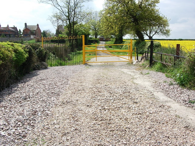
Image: © John Brightley Taken: 18 May 2010
The gate appears to mark the point where the highway is downgraded from a tarmac surfaced road to an 'unclassified' county highway.
Images are licensed for reuse under creativecommons.org/licenses/by-sa/2.0
Image Location
Latitude
52.530107
Longitude
-1.540483