St Mary's church, Sticklepath
Introduction
The photograph on this page of St Mary's church, Sticklepath by Derek Harper as part of the Geograph project.
The Geograph project started in 2005 with the aim of publishing, organising and preserving representative images for every square kilometre of Great Britain, Ireland and the Isle of Man.

There are currently over 7.5m images from over 14,400 individuals and you can help contribute to the project by visiting https://www.geograph.org.uk
St Mary's church, Sticklepath
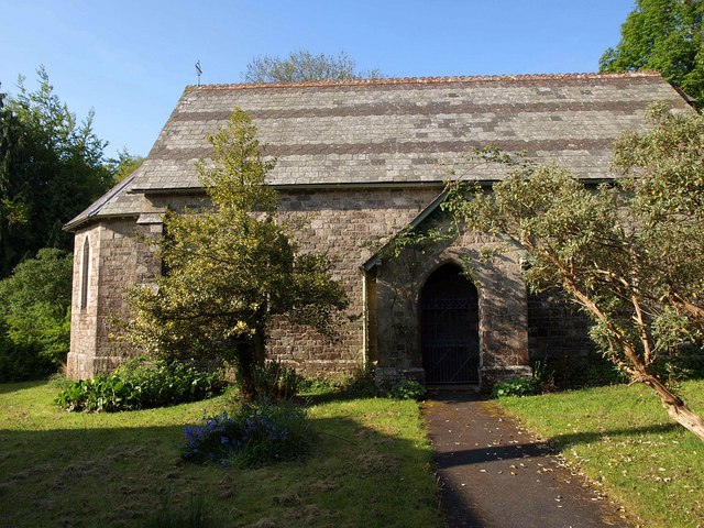
Image: © Derek Harper Taken: 21 May 2010
Overlooked by Cherry and Pevsner, this little church dates from 1875, replacing "a curious old cob thatched chapel" http://www.northmoor-churches.org/St%20Mary%20Sticklepath.htm .
Images are licensed for reuse under creativecommons.org/licenses/by-sa/2.0
Image Location
Latitude
50.730278
Longitude
-3.928674