Sic Acres
Introduction
The photograph on this page of Sic Acres by Simon Carey as part of the Geograph project.
The Geograph project started in 2005 with the aim of publishing, organising and preserving representative images for every square kilometre of Great Britain, Ireland and the Isle of Man.

There are currently over 7.5m images from over 14,400 individuals and you can help contribute to the project by visiting https://www.geograph.org.uk
Sic Acres
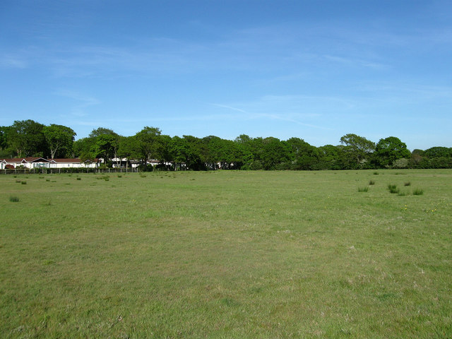
Image: © Simon Carey Taken: 22 May 2010
The name of the field according to the 1837 tithe map which has been expanded to include three other fields; Hither Wood Field to the west, Kiln Field to the south west and Middle Lodge Field to the south. Deanland Wood Caravan Park lies beyond the trees at the end of the field.
Images are licensed for reuse under creativecommons.org/licenses/by-sa/2.0
Image Location
Latitude
50.880903
Longitude
0.170839