South Downs Way below Temple Valley
Introduction
The photograph on this page of South Downs Way below Temple Valley by Chris Heaton as part of the Geograph project.
The Geograph project started in 2005 with the aim of publishing, organising and preserving representative images for every square kilometre of Great Britain, Ireland and the Isle of Man.

There are currently over 7.5m images from over 14,400 individuals and you can help contribute to the project by visiting https://www.geograph.org.uk
South Downs Way below Temple Valley
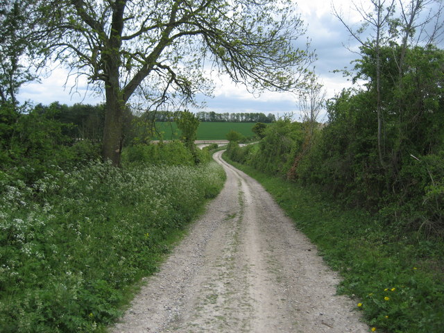
Image: © Chris Heaton Taken: 11 May 2010
A good firm chalk track just to the east of Keeper's Cottage, where the National Trail undertakes an abrupt ninety degree turn.
Images are licensed for reuse under creativecommons.org/licenses/by-sa/2.0
Image Location


Leaflet Map data © OpenStreetMap
Latitude
51.056832
Longitude
-1.2326