Avondale Square Estate
Introduction
The photograph on this page of Avondale Square Estate by Malc McDonald as part of the Geograph project.
The Geograph project started in 2005 with the aim of publishing, organising and preserving representative images for every square kilometre of Great Britain, Ireland and the Isle of Man.

There are currently over 7.5m images from over 14,400 individuals and you can help contribute to the project by visiting https://www.geograph.org.uk
Avondale Square Estate
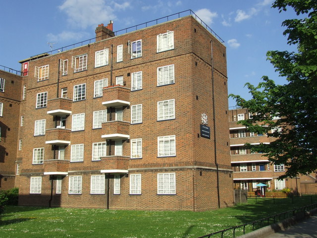
Image: © Malc McDonald Taken: 23 May 2010
Corporation of London housing estate alongside the Old Kent Road.
Images are licensed for reuse under creativecommons.org/licenses/by-sa/2.0
Image Location


Leaflet Map data © OpenStreetMap
Latitude
51.485581
Longitude
-0.068902