Cricket pavilion and houses, Michelmersh
Introduction
The photograph on this page of Cricket pavilion and houses, Michelmersh by David Martin as part of the Geograph project.
The Geograph project started in 2005 with the aim of publishing, organising and preserving representative images for every square kilometre of Great Britain, Ireland and the Isle of Man.

There are currently over 7.5m images from over 14,400 individuals and you can help contribute to the project by visiting https://www.geograph.org.uk
Cricket pavilion and houses, Michelmersh
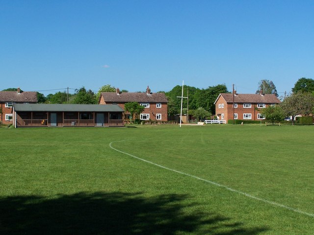
Image: © David Martin Taken: 23 May 2010
Edge of the cricket ground between Hunts Farm and the Jubilee Hall
Images are licensed for reuse under creativecommons.org/licenses/by-sa/2.0
Image Location
Latitude
51.026207
Longitude
-1.506593