New Cycle Route and Sign, Penns Lane
Introduction
The photograph on this page of New Cycle Route and Sign, Penns Lane by Michael Westley as part of the Geograph project.
The Geograph project started in 2005 with the aim of publishing, organising and preserving representative images for every square kilometre of Great Britain, Ireland and the Isle of Man.

There are currently over 7.5m images from over 14,400 individuals and you can help contribute to the project by visiting https://www.geograph.org.uk
New Cycle Route and Sign, Penns Lane
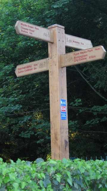
Image: © Michael Westley Taken: 22 May 2010
A new cycle route has been built alongside Plants Brook, part of an extensive new route between Sutton Coldfield and (eventually) Castle Vale - Sustran 534 Passing trade was perhaps on the hotel's mind, as well as helping the environment and people's health
Images are licensed for reuse under creativecommons.org/licenses/by-sa/2.0
Image Location
Latitude
52.535612
Longitude
-1.81066