The Sele Well
Introduction
The photograph on this page of The Sele Well by Mike Quinn as part of the Geograph project.
The Geograph project started in 2005 with the aim of publishing, organising and preserving representative images for every square kilometre of Great Britain, Ireland and the Isle of Man.

There are currently over 7.5m images from over 14,400 individuals and you can help contribute to the project by visiting https://www.geograph.org.uk
The Sele Well
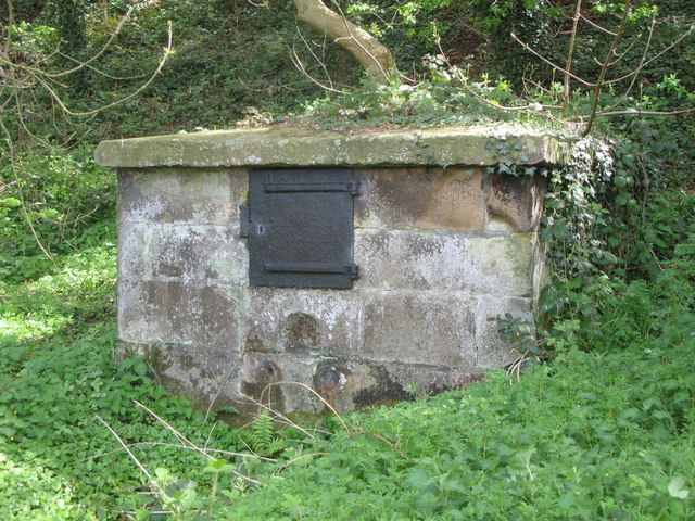
Image: © Mike Quinn Taken: 30 Apr 2010
This well was "A gathering place for local people and a very important source of drinking water for [the Cockshaw area of Hexham and was] in use until the 20th C." {Source: Hexham Local History Society leaflet "Essential Hexham".}
Images are licensed for reuse under creativecommons.org/licenses/by-sa/2.0
Image Location
Latitude
54.972648
Longitude
-2.107071