The Greenway, Sutton Coldfield
Introduction
The photograph on this page of The Greenway, Sutton Coldfield by Michael Westley as part of the Geograph project.
The Geograph project started in 2005 with the aim of publishing, organising and preserving representative images for every square kilometre of Great Britain, Ireland and the Isle of Man.

There are currently over 7.5m images from over 14,400 individuals and you can help contribute to the project by visiting https://www.geograph.org.uk
The Greenway, Sutton Coldfield
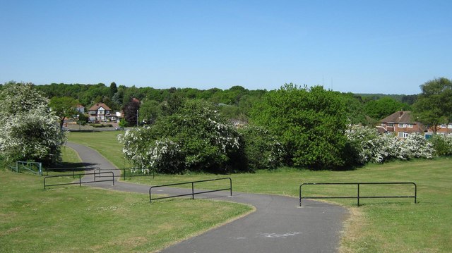
Image: © Michael Westley Taken: 22 May 2010
View from climb up large grassed area bordered by housing on left and south, Banners Gate Road to the north, and The Greenway (and Drive) to the right. Nice view of the tree tops of Sutton Park http://en.wikipedia.org/wiki/Sutton_Park
Images are licensed for reuse under creativecommons.org/licenses/by-sa/2.0
Image Location
Latitude
52.55601
Longitude
-1.871193