Shortened footpath, Meriden
Introduction
The photograph on this page of Shortened footpath, Meriden by Michael Westley as part of the Geograph project.
The Geograph project started in 2005 with the aim of publishing, organising and preserving representative images for every square kilometre of Great Britain, Ireland and the Isle of Man.

There are currently over 7.5m images from over 14,400 individuals and you can help contribute to the project by visiting https://www.geograph.org.uk
Shortened footpath, Meriden
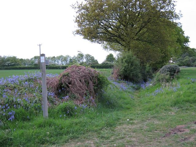
Image: © Michael Westley Taken: 18 May 2010
This footpath/bridleway on Eaves Green Lane once ran all the way to Lodge Green Lane. More recently it was closed at A45 so that it goes to dead-end from either end - see Image] - access from other end
Images are licensed for reuse under creativecommons.org/licenses/by-sa/2.0
Image Location
Latitude
52.438805
Longitude
-1.627636